Land Use / Land Cover Mapping
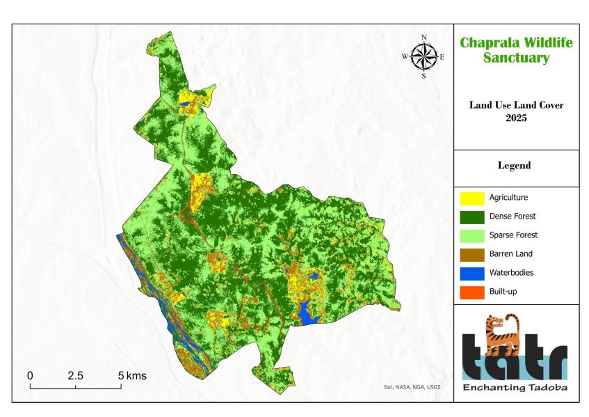
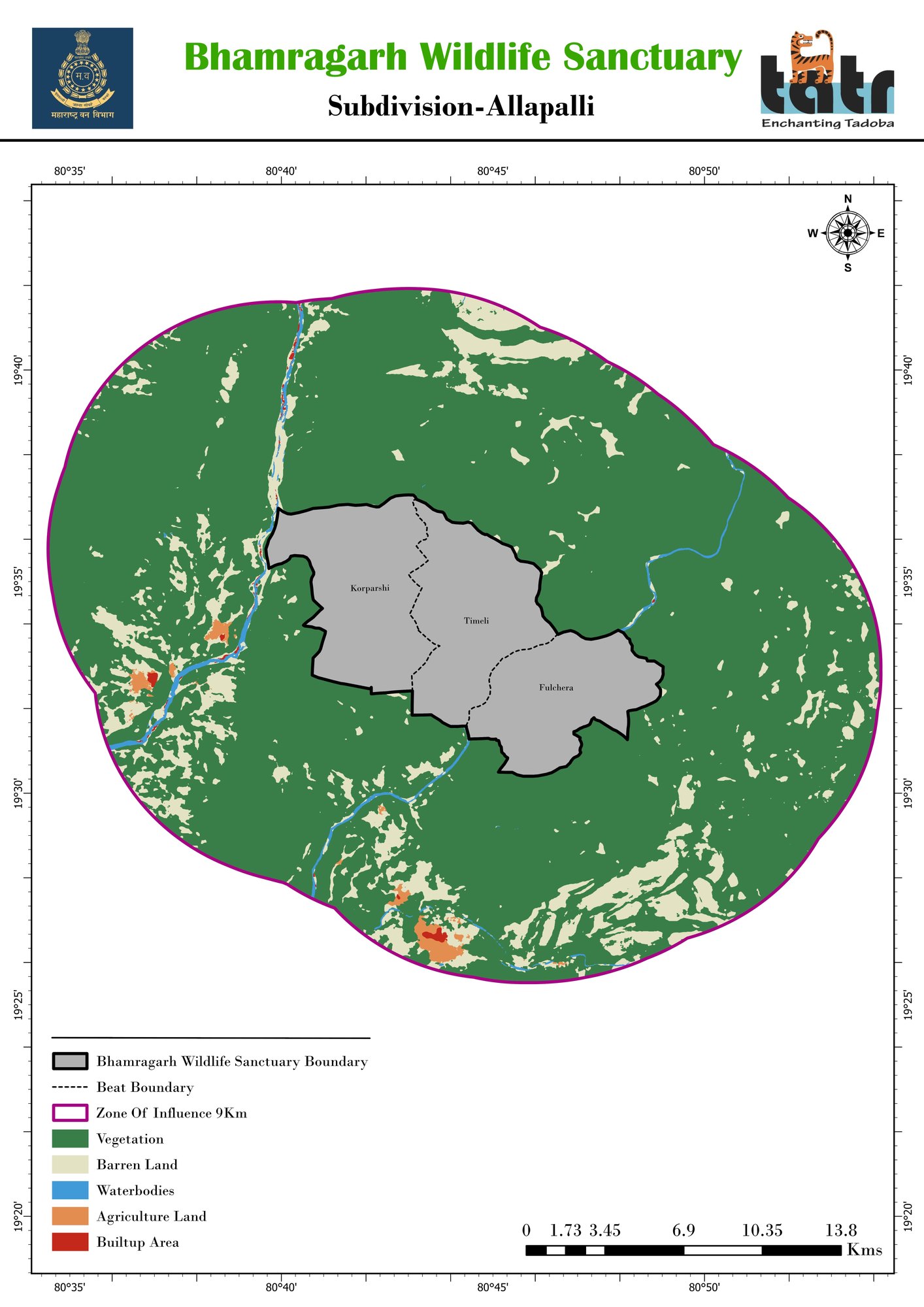
Classified LULC maps of forest, farmland, water, barren and built-up land for any boundary or buffer.
Deliverables: LULC map, class-wise area table, shapefile
Get a quote →Home / Services
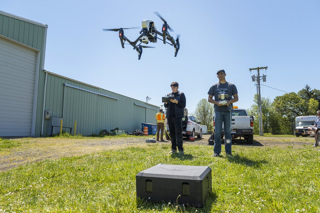
AI early warning systems, core GIS and remote sensing, management and conservation plans, impact and biodiversity assessments, surveys and training.
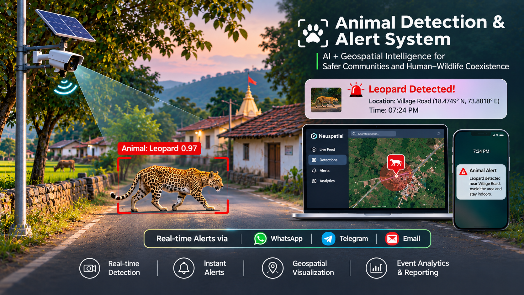
Real-time edge & cloud AI surveillance combined with precision geofencing to prevent human-wildlife conflict and safeguard forest fringes.
GeoHawk Aerials deploys an intelligent, AI-powered geofenced monitoring platform that detects wildlife movements in real time. When an animal enters or approaches a designated virtual geofence along forest boundaries, wildlife corridors, or village fringes, automated alerts are dispatched immediately with timestamped captures and location coordinates—helping vulnerable communities stay alert and enabling forest officials to respond swiftly.
Direct alerts inform local villagers, farmers, and pastoralists before dangerous encounters occur—safeguarding human lives, livestock, and standing crops.
Frontline forest guards, Range Forest Officers (RFOs), and patrolling squads receive instant geotagged coordinates and detection imagery for prompt intervention.
Satellite, terrain and field data turned into maps, statistics and decisions. Every map is checked on the ground.
Classified LULC maps of forest, farmland, water, barren and built-up land for any boundary or buffer.
Deliverables: LULC map, class-wise area table, shapefile
Get a quote →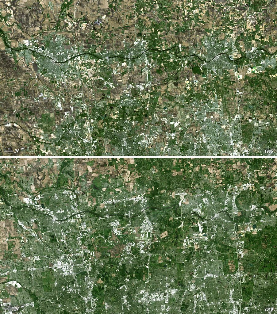
Multi-date satellite comparison showing how forest, farms, settlements and water have changed over 10–30 years.
Deliverables: Before/after maps, change matrix, statistics
Get a quote →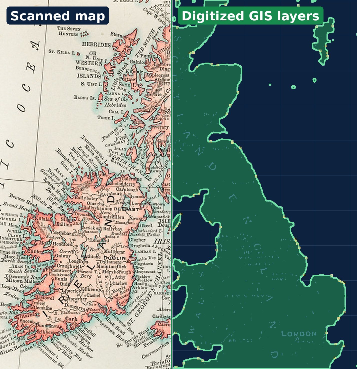
Scanned toposheets, village maps, cadastral and forest records converted into clean, topology-checked GIS layers.
Deliverables: Georeferenced maps, vector layers, attribute tables
Get a quote →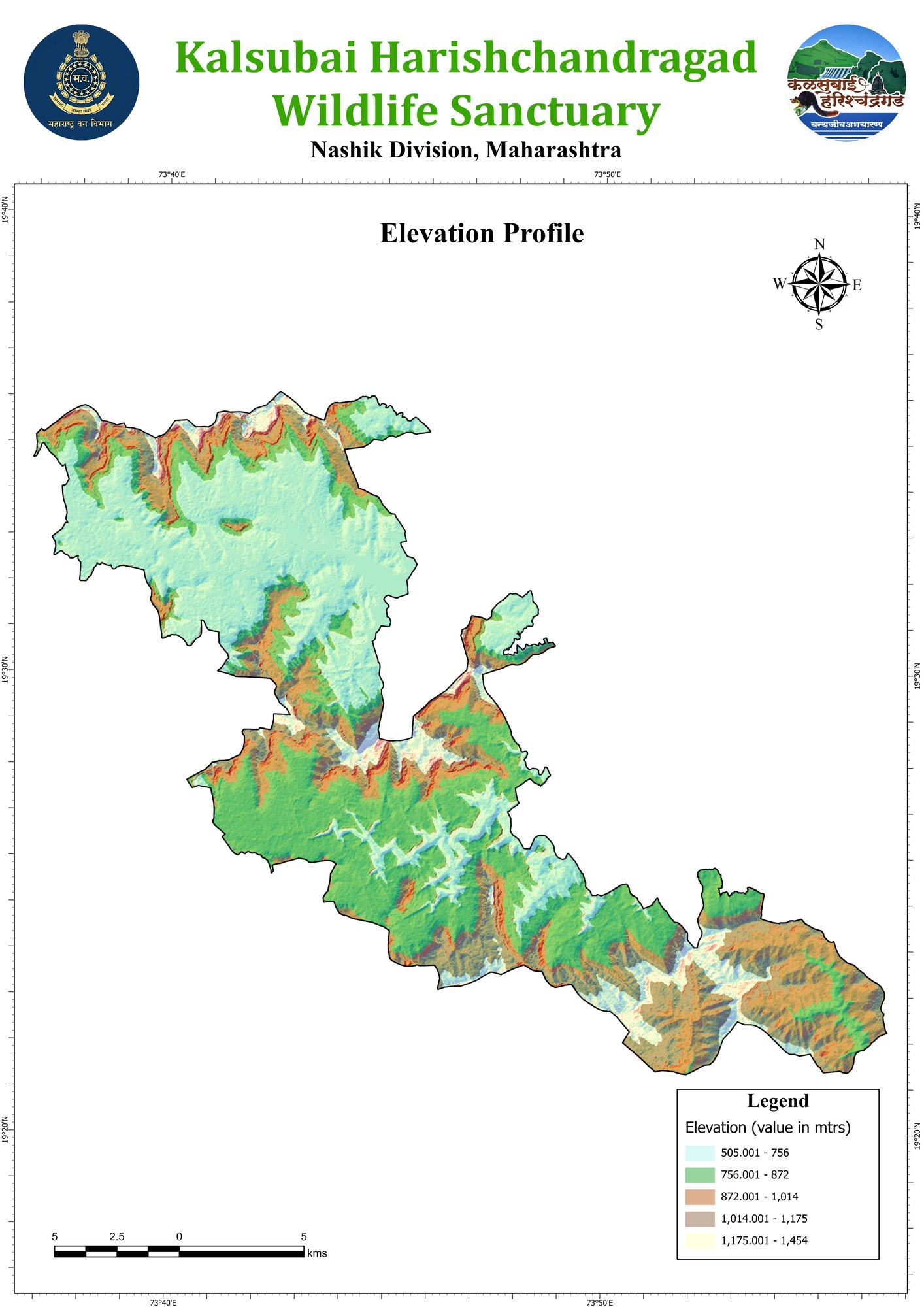
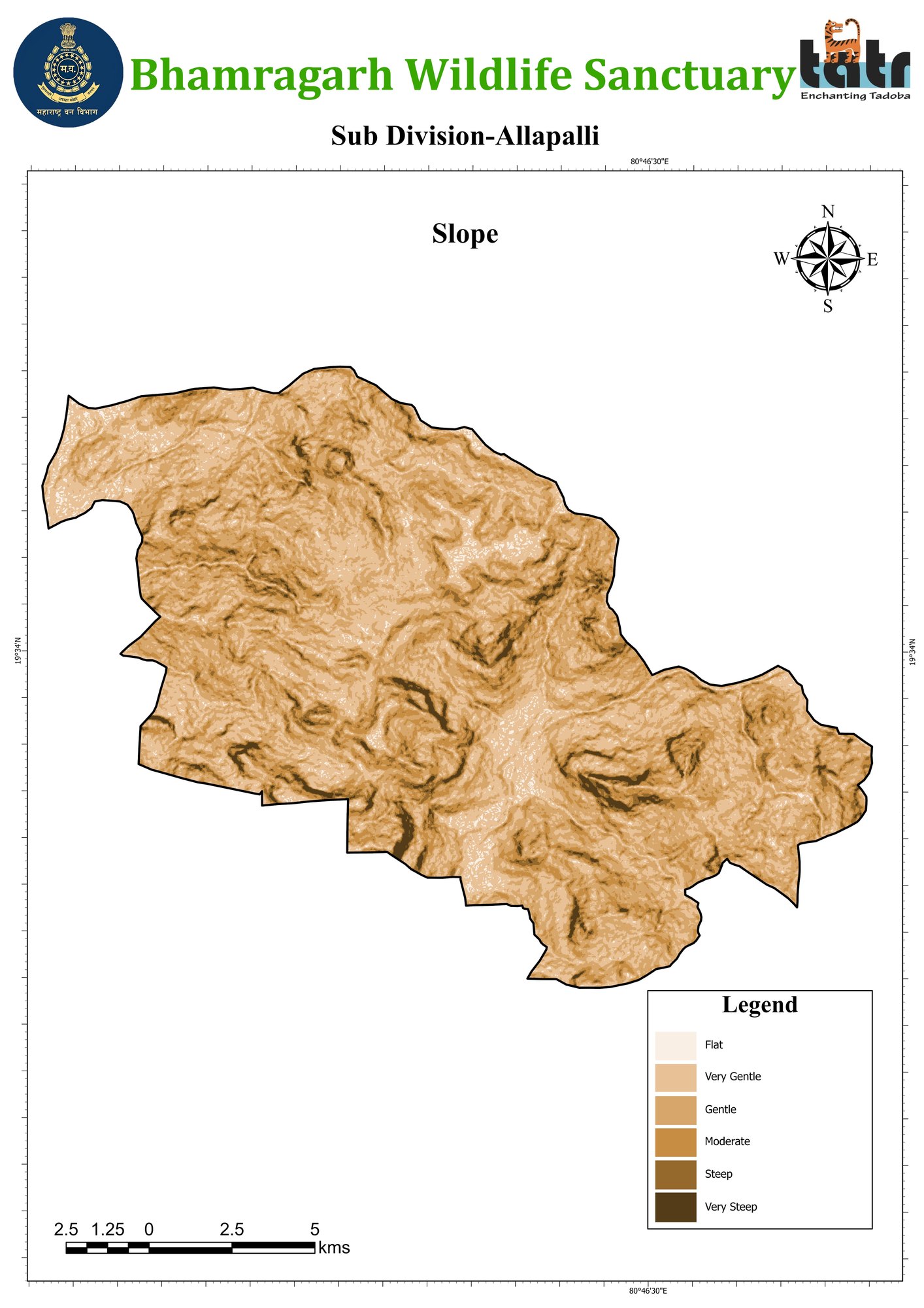
Terrain models with elevation zones, slope, aspect and hillshade for planning and site analysis.
Deliverables: DEM, slope and elevation maps
Get a quote →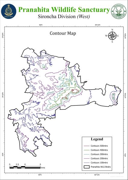
Contour maps and terrain profiles from satellite DEMs, drone data or field surveys.
Deliverables: Contour map, profiles, CAD/GIS files
Get a quote →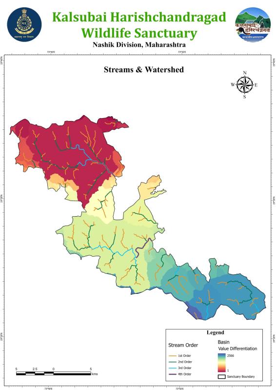
Drainage networks, Strahler stream order and watershed boundaries for water planning.
Deliverables: Stream-order and watershed maps
Get a quote →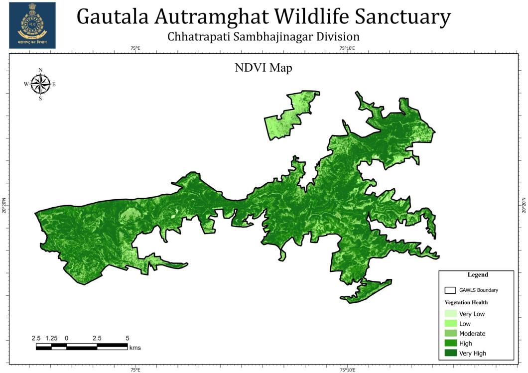
Satellite vegetation indices showing where vegetation is healthy, stressed or degraded.
Deliverables: NDVI maps, seasonal comparison
Get a quote →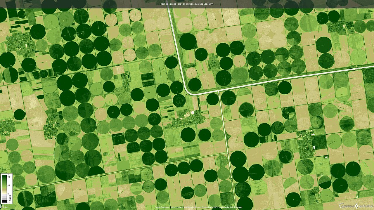
Crop mapping, plantation survival and green-cover monitoring from satellite time series.
Deliverables: Field-wise health maps, area estimates
Get a quote →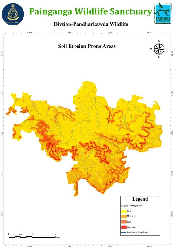
Erosion-prone and degraded land identified to prioritise soil and water conservation.
Deliverables: Erosion risk map, priority sites
Get a quote →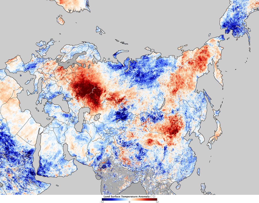
Surface heat maps from thermal satellite data to locate heat islands and hot zones.
Deliverables: LST map, hotspot zones
Get a quote →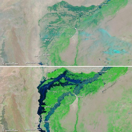
Before-and-after satellite mapping of flooded areas and affected villages.
Deliverables: Flood extent maps, affected-area list
Get a quote →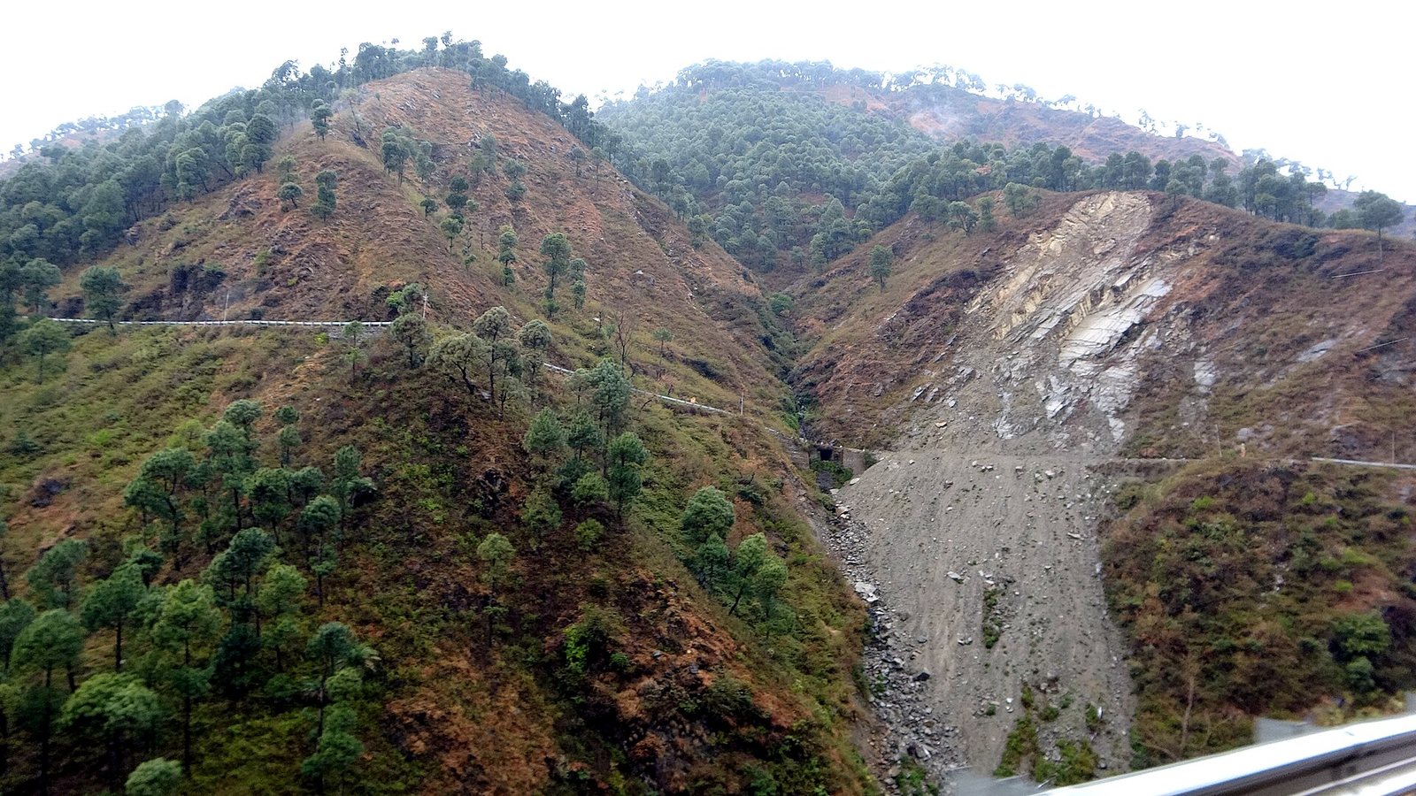
Slope, geology, drainage, land cover and rainfall combined to map landslide-prone zones.
Deliverables: Susceptibility zone map, risk list
Get a quote →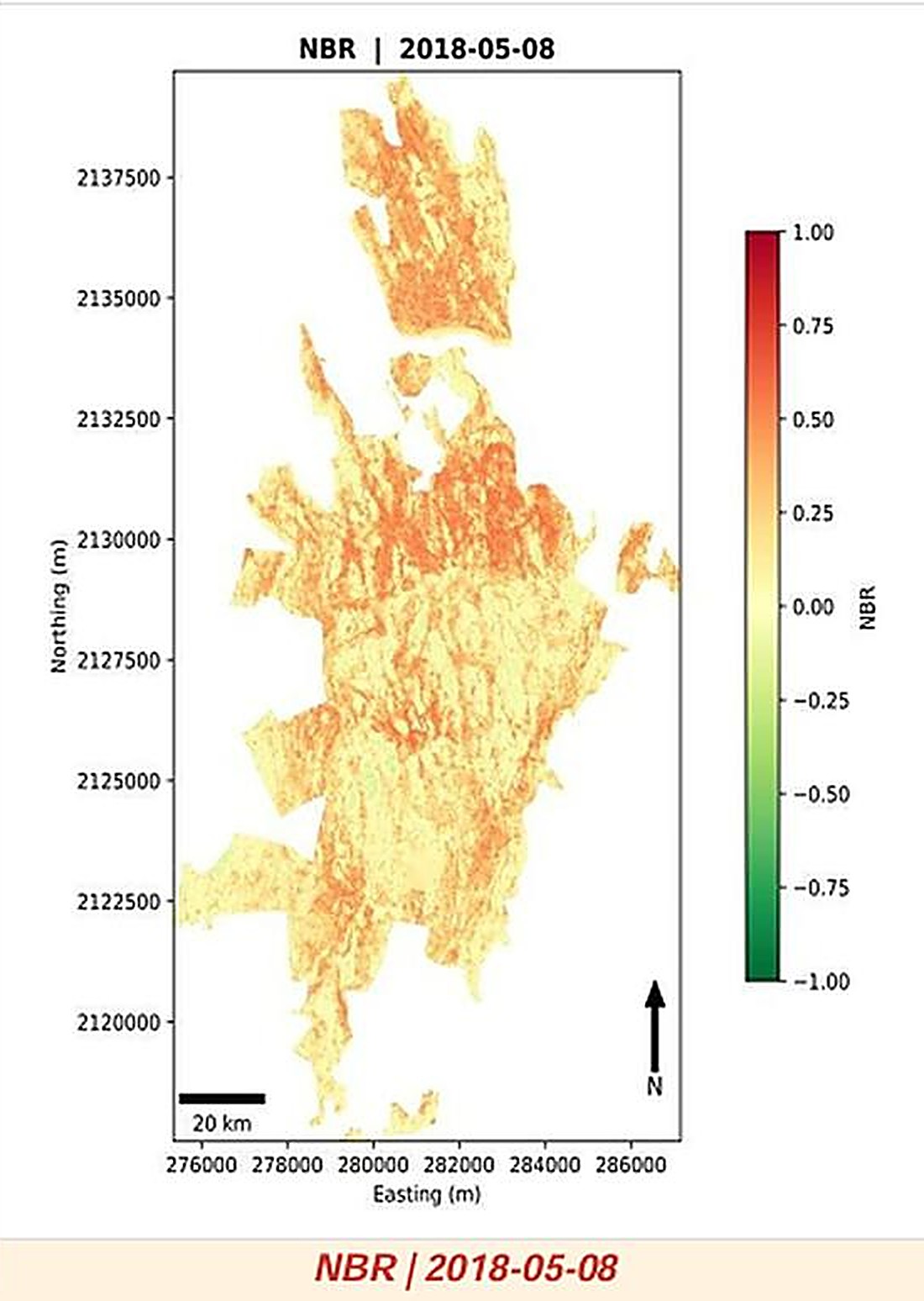
Fire-prone zones and burn-severity (NBR) mapping for fire lines and restoration.
Deliverables: Fire-risk and burn-severity maps
Get a quote →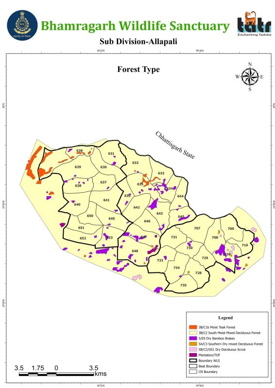
Compartment-wise forest-type classification for working and management plans.
Deliverables: Forest type map, area statement
Get a quote →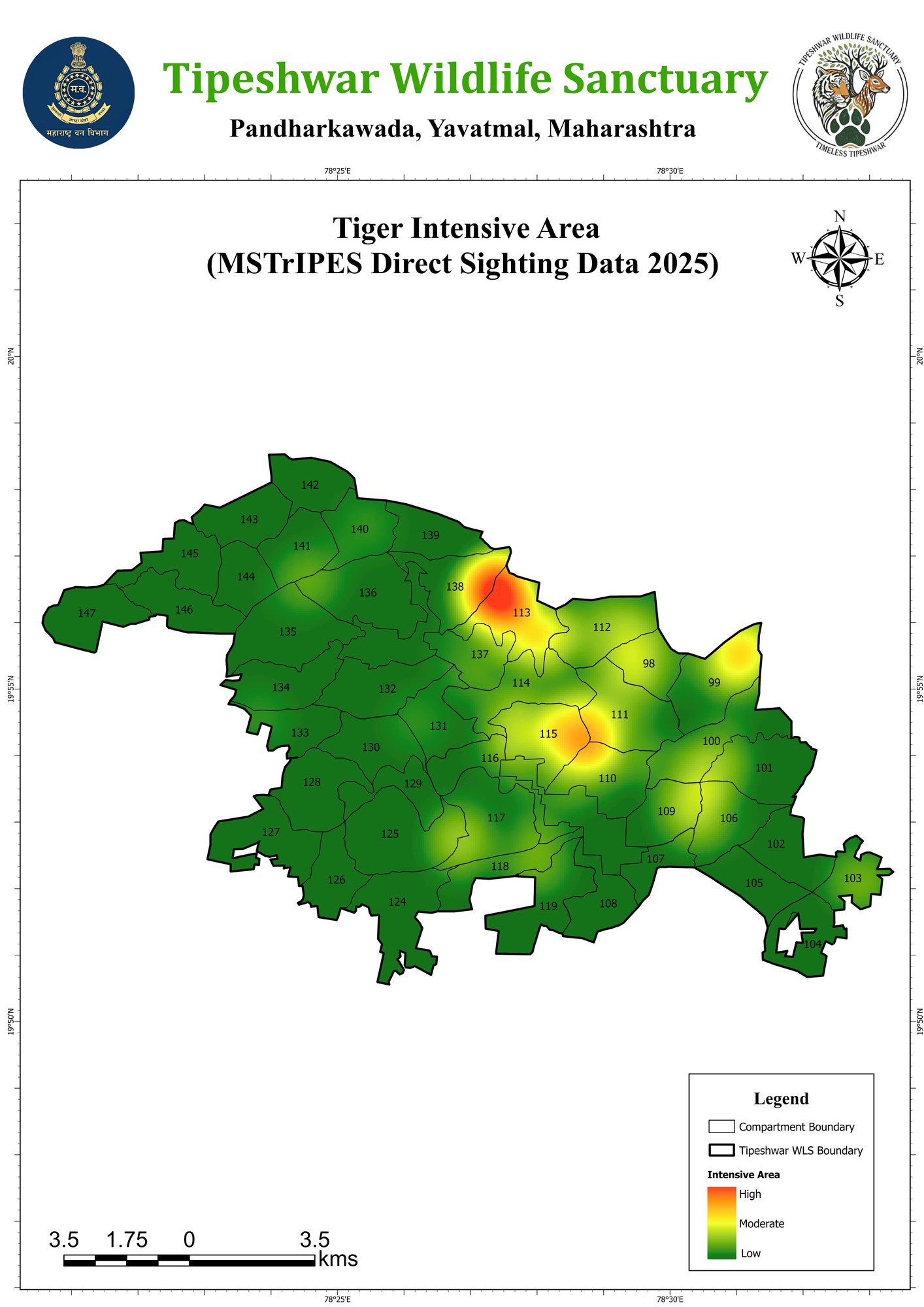
Habitat suitability and intensive-use maps from monitoring and sighting data.
Deliverables: Habitat and density maps
Get a quote →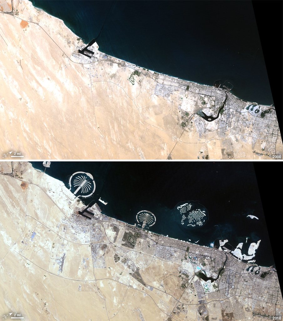
How and where towns are expanding, with built-up area statistics over time.
Deliverables: Growth maps, built-up statistics
Get a quote →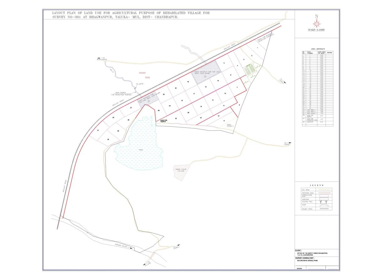
Survey-number boundaries, plot layouts and area abstracts matched to land records.
Deliverables: Layout plan, area abstract, KML
Get a quote →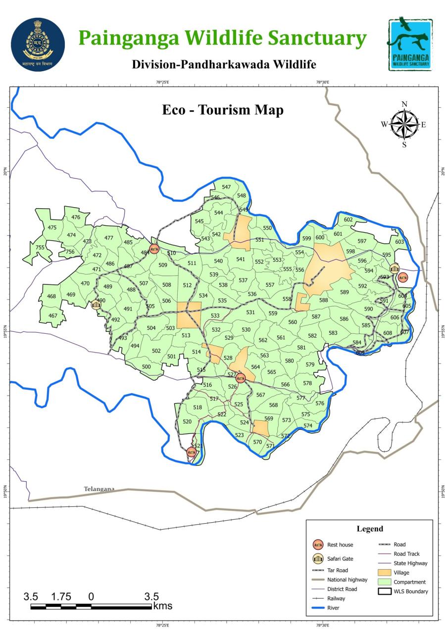
Visitor facilities, trails and zones mapped away from sensitive habitat.
Deliverables: Zonation and facility maps
Get a quote →We write statutory plans for protected areas and site-specific conservation plans for development projects, backed by complete GIS map sets and field surveys.
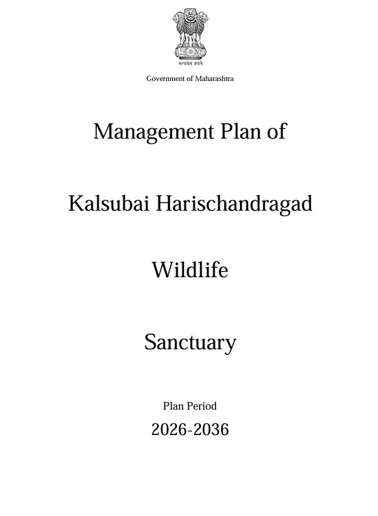
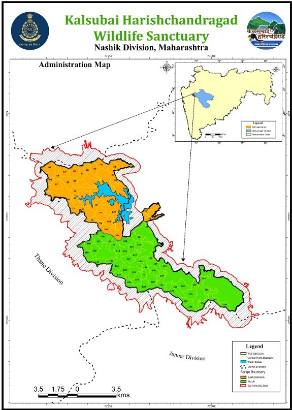
Ten-year management plans for wildlife sanctuaries and tiger reserves, prepared for the Forest Department following MoEFCC guidelines.
Chaprala · Pranhita · Kalsubai–Harishchandragad · Painganga · Bhamragarh · Tipeshwar · Tadoba maps
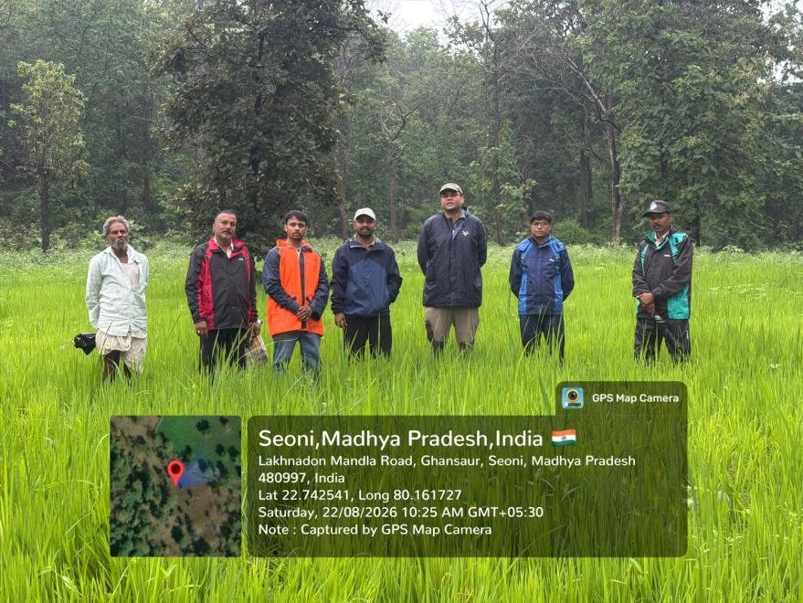
Conservation and mitigation plans for power, energy, mining and linear projects under environmental clearance conditions.
NTPC Jhabua thermal power expansion, Seoni (MP)
How a project affects wildlife, habitat, land and people, and how to reduce it.
Done for TATA, NTPC, Adani and NGOs
Enquire now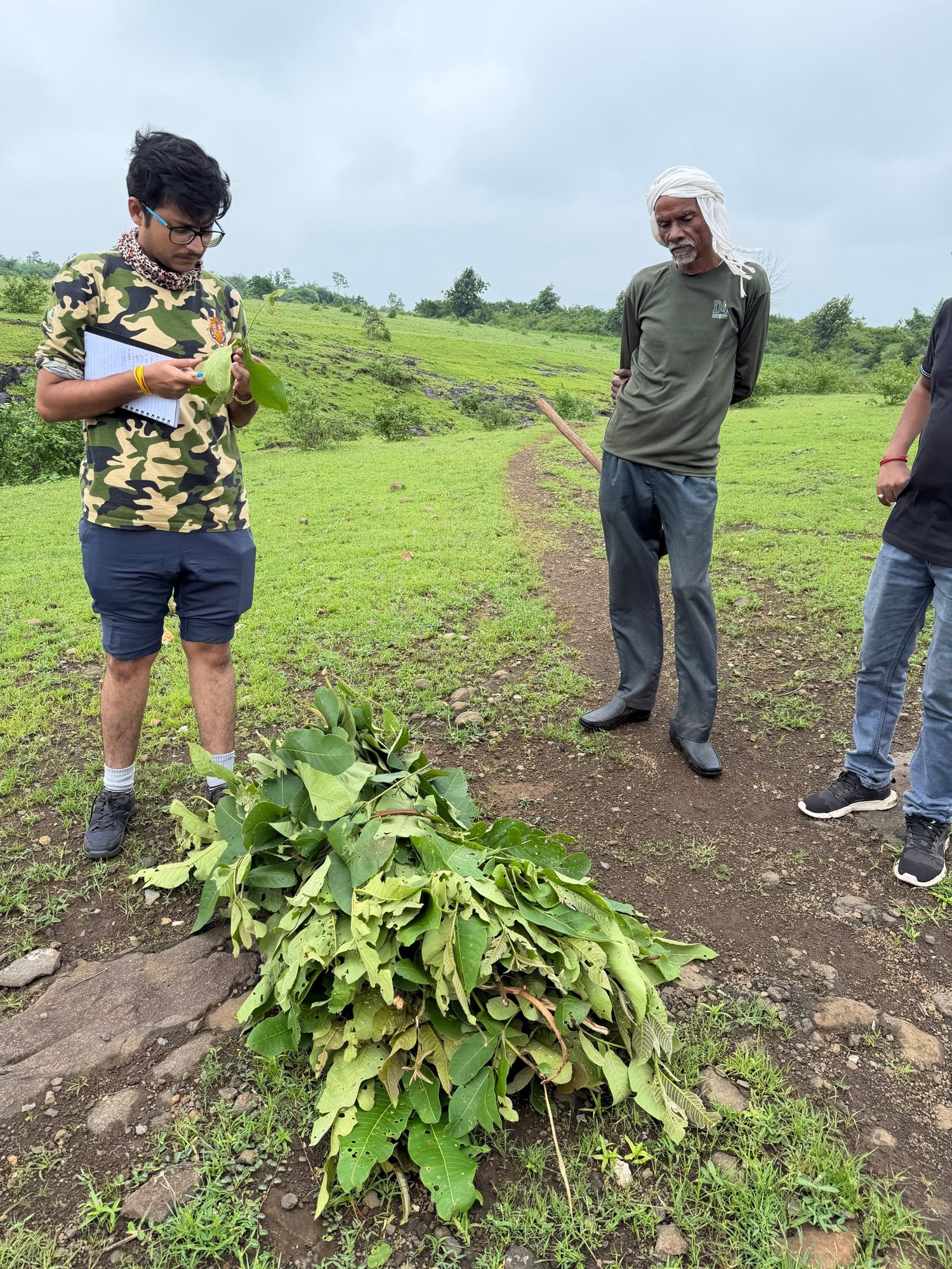
Flora and fauna baselines surveyed by trained ecologists and ornithologists.
For solar, wind, power, mining & EIA projects
Enquire now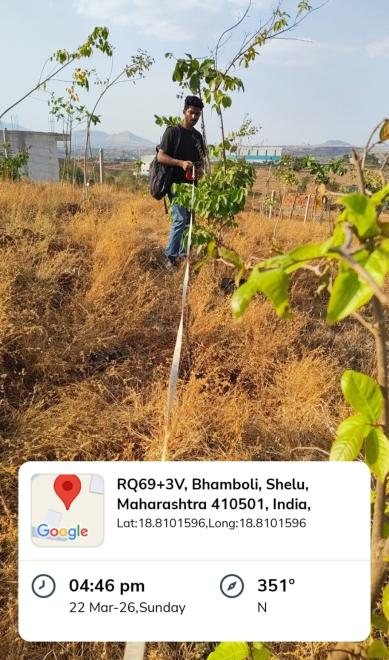
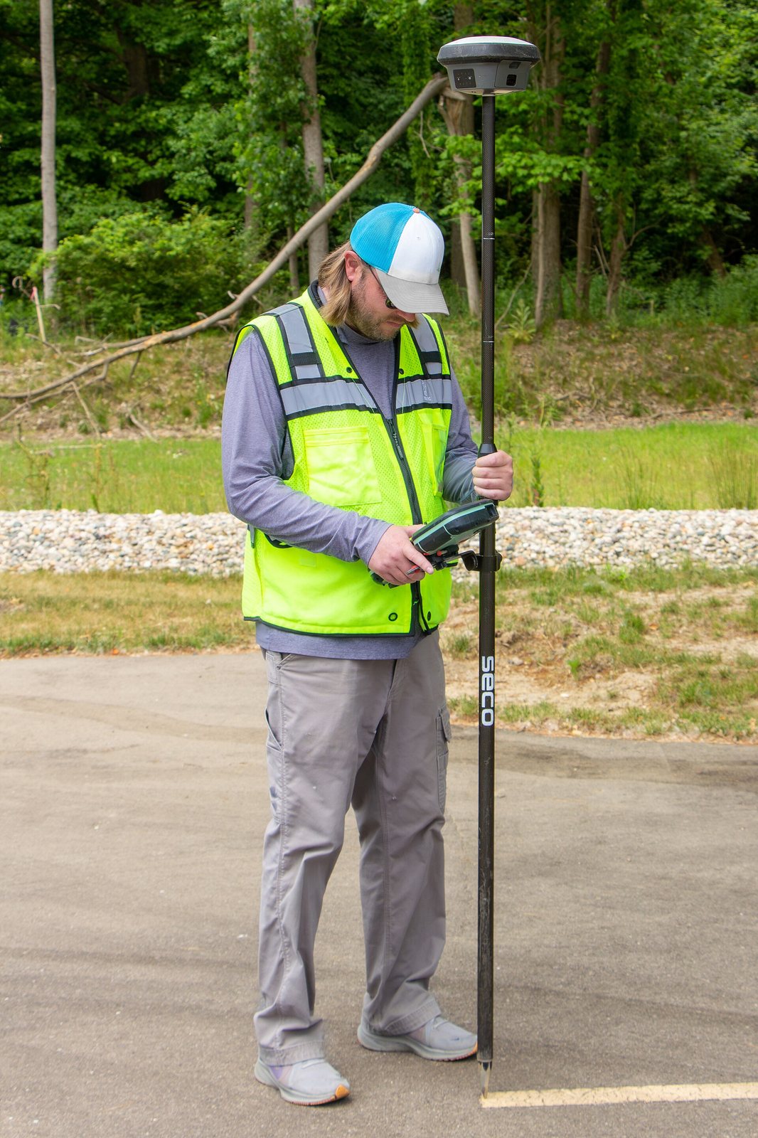
Centimetre-accurate land surveys and geo-tagged field data.
Tadoba, Bondla Zoo (Goa), solar companies
Enquire nowField surveys, statutory plans, disaster studies and training that complement our GIS work.
Statutory 10-year plans and map sets for sanctuaries and tiger reserves.
Enquire →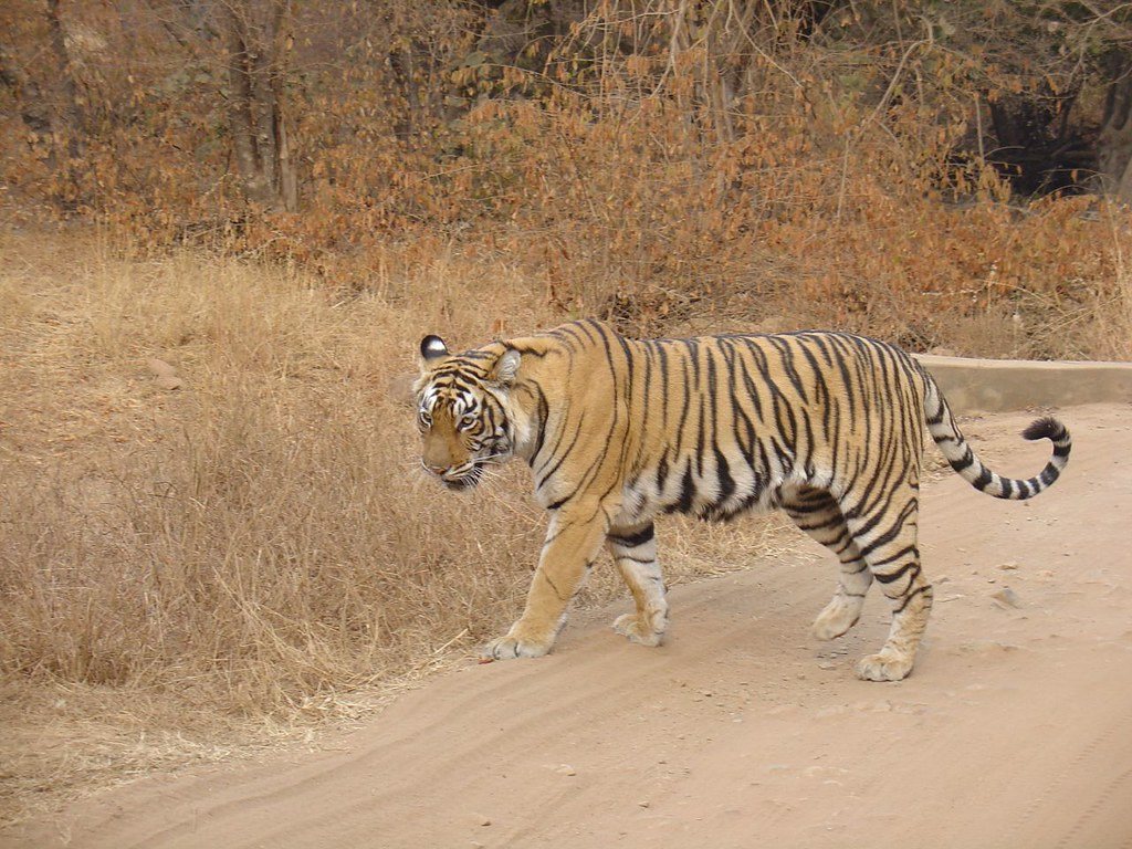
Conservation and mitigation plans for projects, like our NTPC Jhabua plan.
Enquire →
Flood, drought, fire and seismic hazard mapping for district authorities.
Enquire →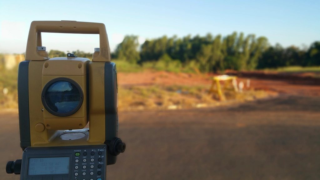
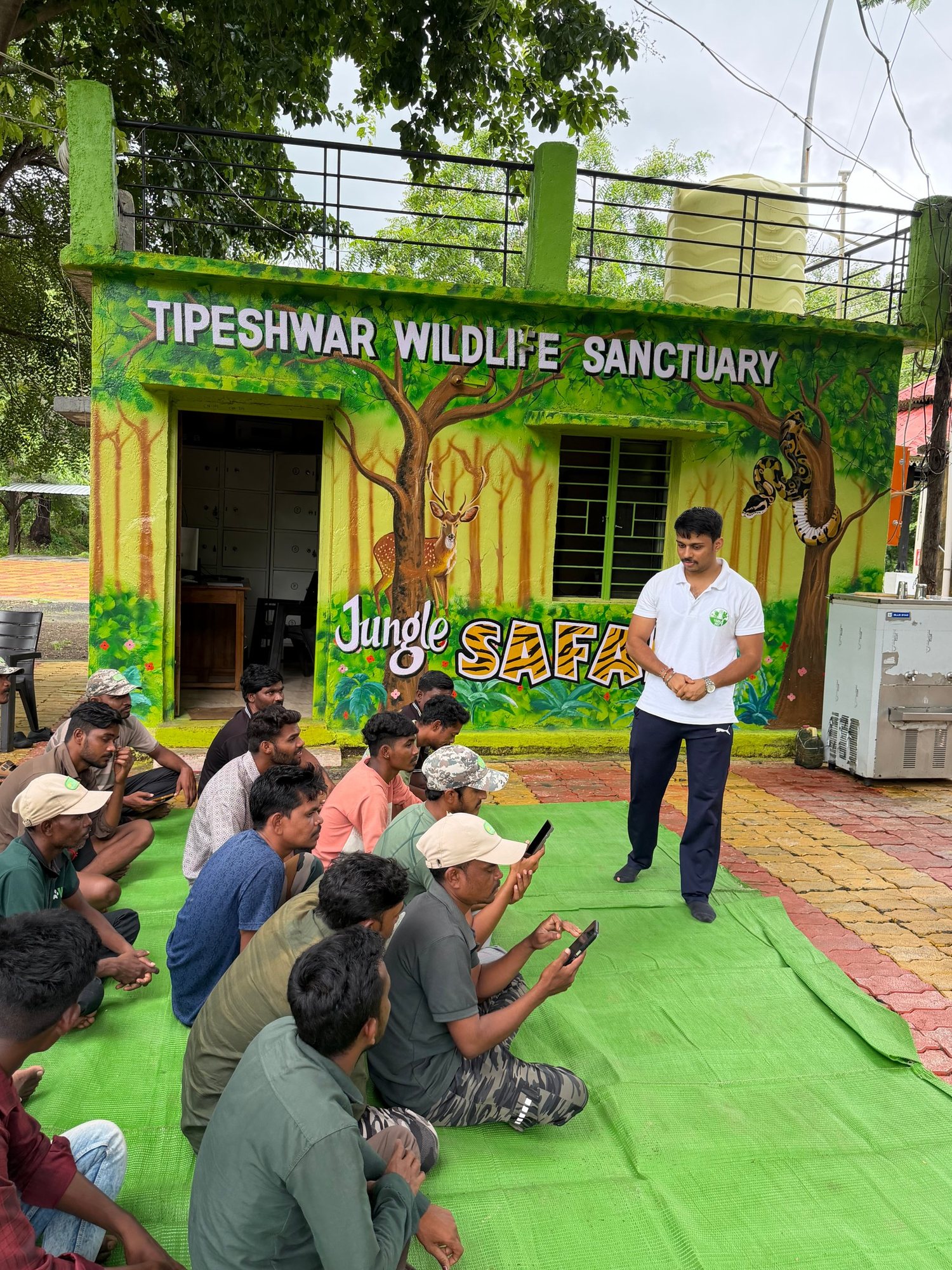
GIS, DGPS, mobile data and AI training for officials and staff.
Enquire →Maps prepared by GeoHawk for forest divisions and clients. Tap a map to open it full size.
Choose a service to send us an enquiry. Every project can combine several of these.
Decadal plans for sanctuaries, national parks and tiger reserves.
Environmental, wildlife, land and CSR impact studies.
Conservation plans for Schedule I species, tiger landscapes and project sites.
Flora and fauna baselines for EIA, solar, wind and power projects.
Centimetre-accurate surveys matched to land records.
Aerial mapping, orthophotos and elevation models.
From fire-risk maps to drone detection and burn-severity mapping.
Real-time geofenced detection & instant alerts via WhatsApp, Telegram & email.
AI models and dashboards on satellite and field data.
Hazard and vulnerability mapping for disaster authorities.
Satellite studies of land, water, heat and soil.
Evidence-based CSR planning and impact measurement.
Hands-on training for officials, staff, students and NGOs.
We study your site, requirement and applicable guidelines.
Satellite imagery, drone flights, DGPS and records.
GIS, remote sensing, statistics and AI models.
Field surveys by our ecologists and surveyors.
Reports, maps, KML, dashboards and training.
Tell us your site and requirement. We will reply with an approach and a quotation.
Openly licensed photos sourced via Openverse (Flickr, Wikimedia Commons, rawpixel). All maps and field photographs are GeoHawk Aerials' own work.