Home / About
A Pune-based geospatial, remote sensing, drone and AI consultancy built by ecologists and surveyors.
GeoHawk Aerials LLP is a Pune-based geospatial, remote sensing, drone and AI consultancy.
We help forest departments, government bodies, corporates and NGOs make decisions about land with confidence. Our team combines satellite and drone data analysis with field surveys by trained ecologists and survey engineers, so every map and report is accurate, verified on the ground and ready for official use.
Our work ranges from statutory Wildlife Management Plans and environmental impact assessments to centimetre-accurate DGPS surveys, disaster-risk maps and AI systems for forest fire and land monitoring.
Our teams verify every map in the field, and we train forest staff, officials, students and NGO volunteers to use modern survey, GIS and AI tools themselves.
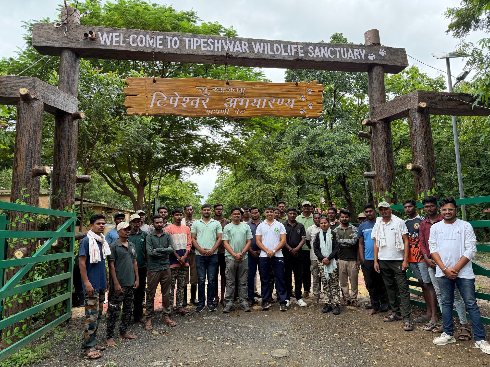
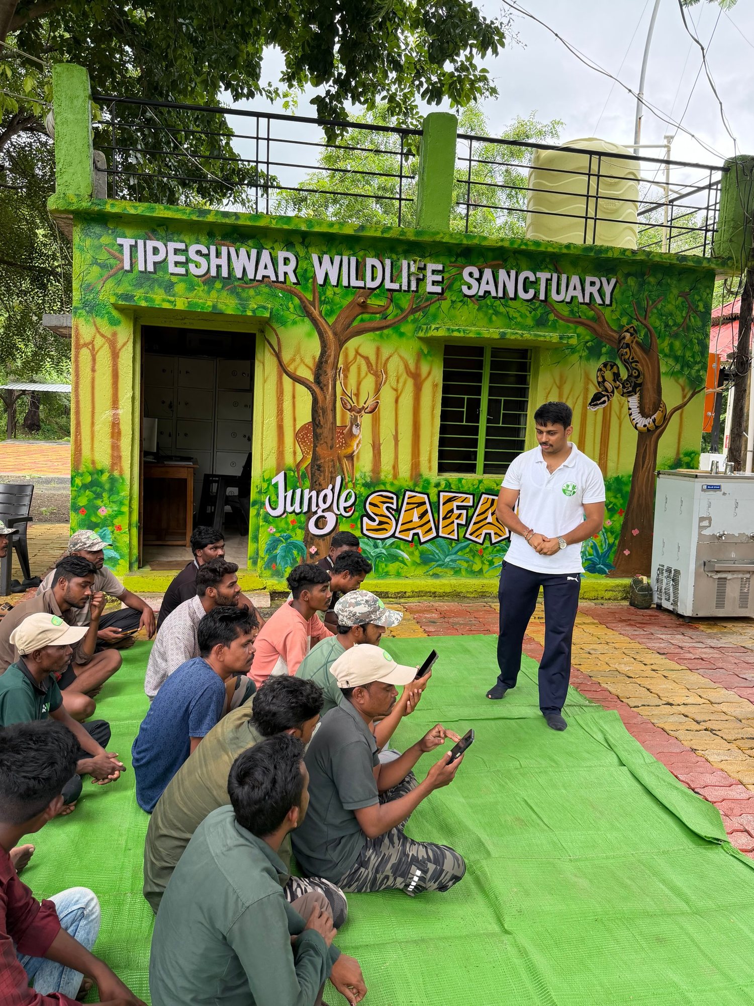
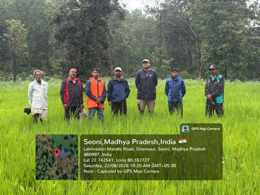
GPS, mobile data collection, patrolling apps, camera traps and biodiversity methods for Range Officers, Foresters and Forest Guards.
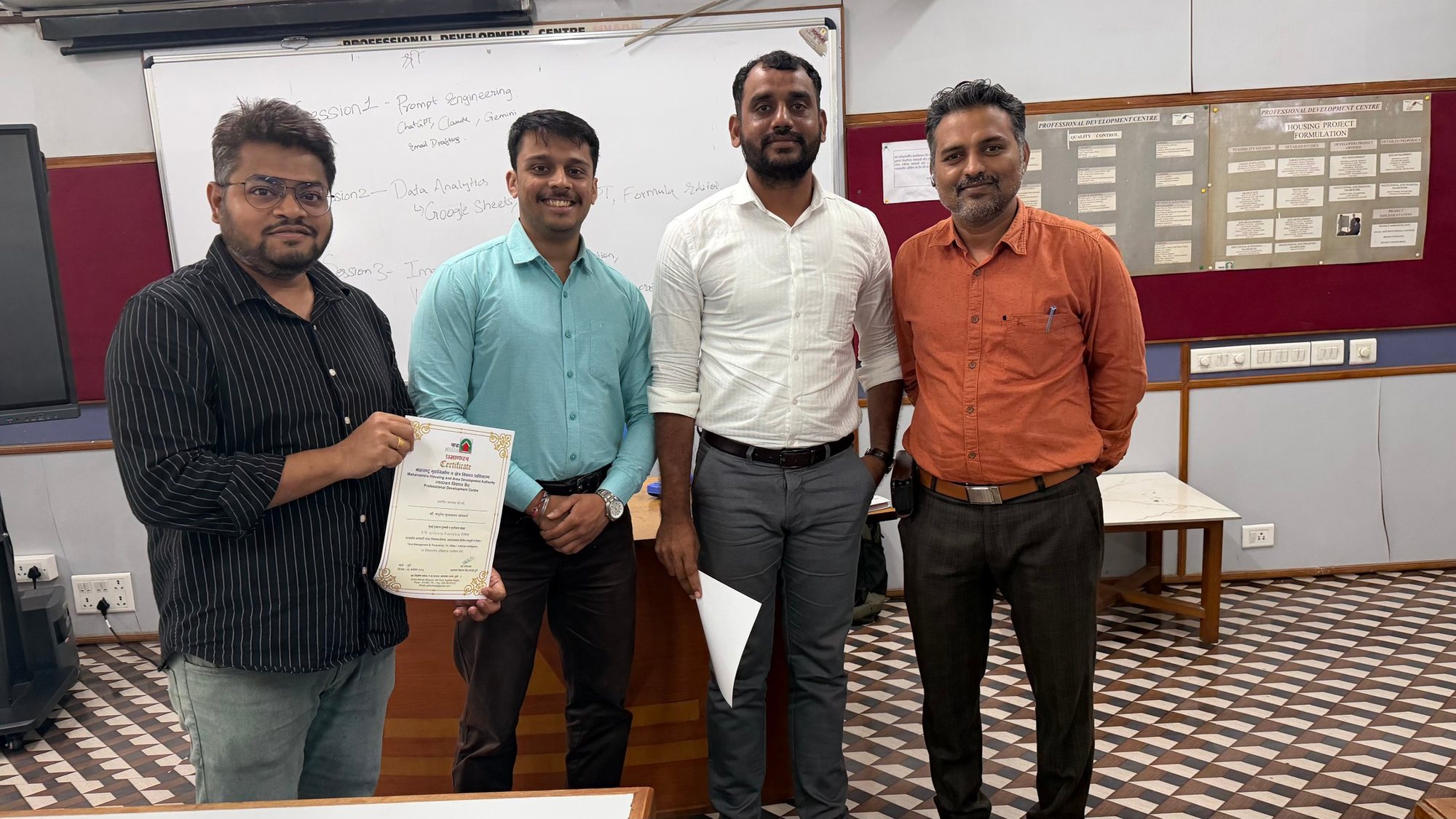
Applied AI, GIS and data tools for officials at PDCs, Collector, Municipal and housing offices.
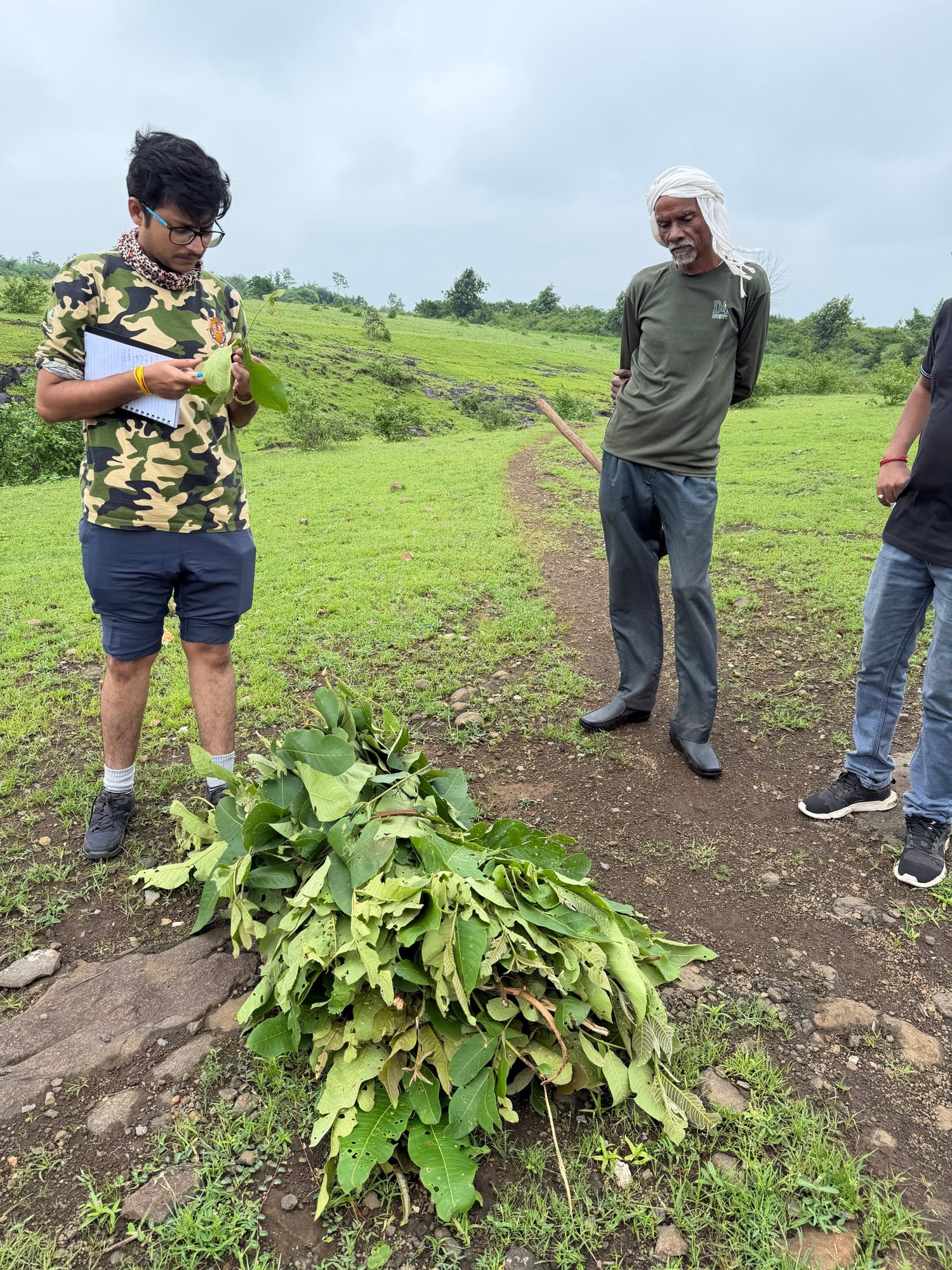
Field ecology, GIS and remote sensing workshops for students, researchers and volunteers.
Ecologists, ornithologists, surveyors and GIS-AI specialists on one team, so the science and the maps agree.
Chosen by forest departments, power and energy majors, housing authorities, foundations and NGOs.
Reports follow MoEFCC, EIA, WLPA and land-record standards, ready for committees and reviewers.
Every satellite finding is checked in the field with geo-tagged evidence and DGPS accuracy.
Automated pipelines and AI models give faster turnaround and insights that manual mapping cannot.
From the first site visit to final reports, maps, KML files, dashboards and staff training.
Tell us your site and requirement. We will reply with an approach and a quotation.