GIS · Remote Sensing · Drone & DGPS Surveys · Environmental Studies · GeoAI
TRUSTED BY GOVERNMENT, INDUSTRY, INSTITUTIONS AND NGOs








One team for mapping, surveys and environmental studies, from the first site visit to the final report.
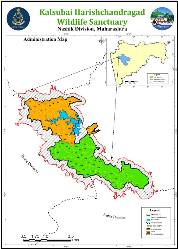
Wildlife management plans and conservation plans with complete map sets.
Learn more →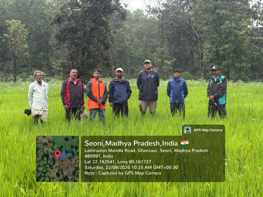
Wildlife, environmental, land, CSR and ESG impact studies.
Learn more →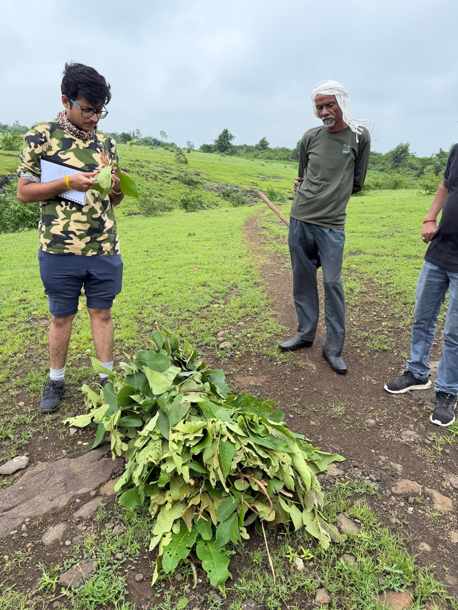
Flora and fauna baselines by trained ecologists.
Learn more →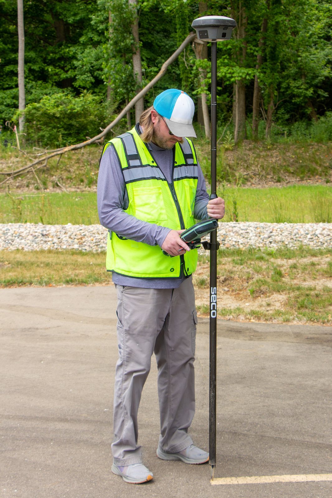
Centimetre-accurate boundary, topographic and cadastral surveys.
Learn more →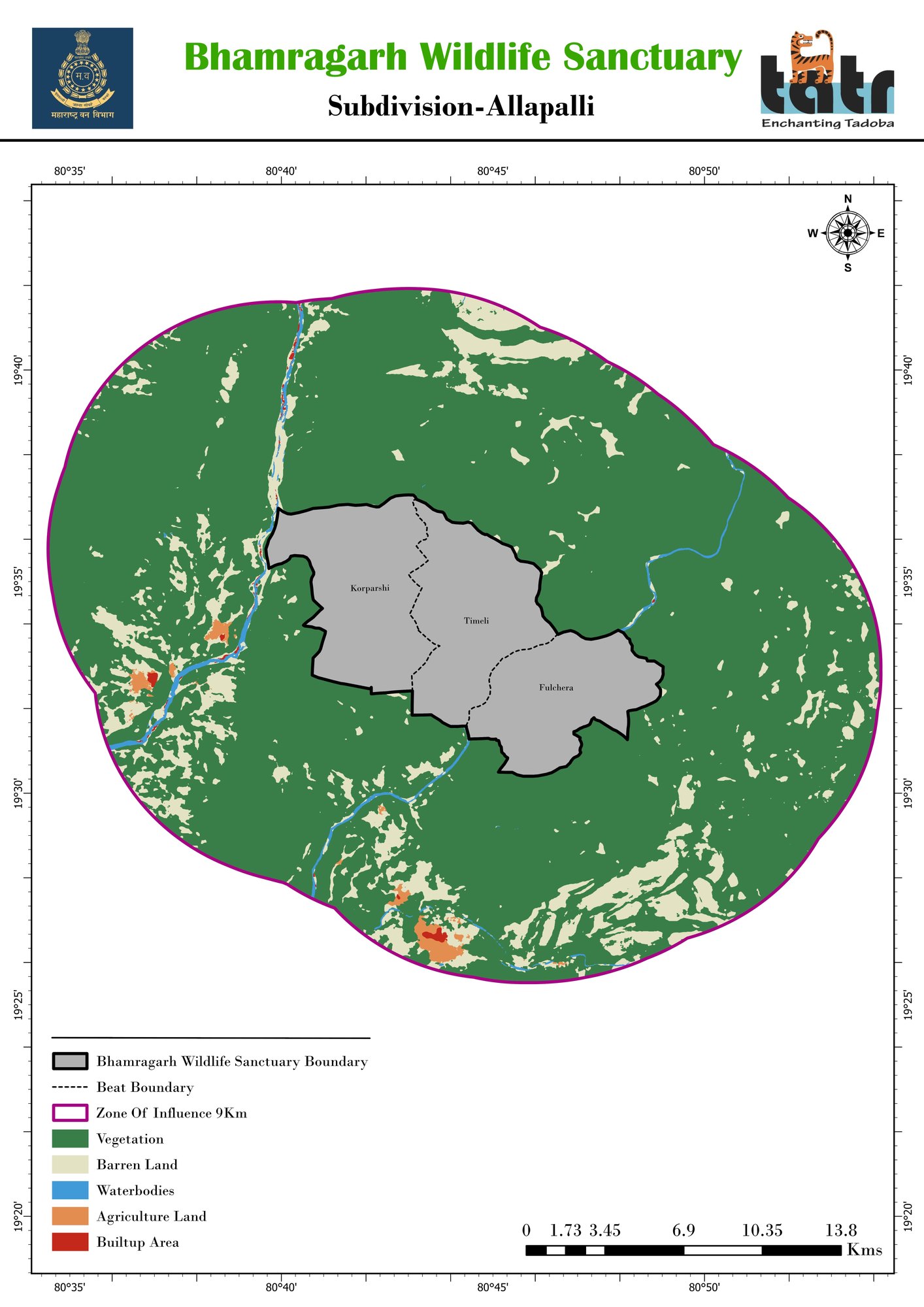
LULC, change detection, digitization and thematic maps.
Learn more →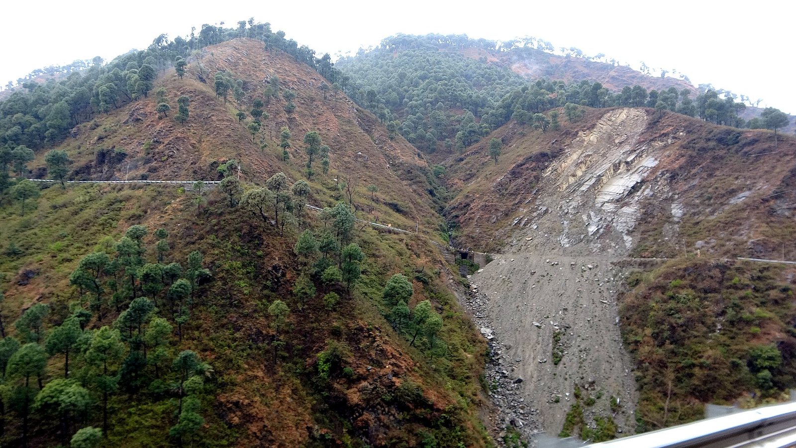
Landslide, flood, drought and fire-risk mapping.
Learn more →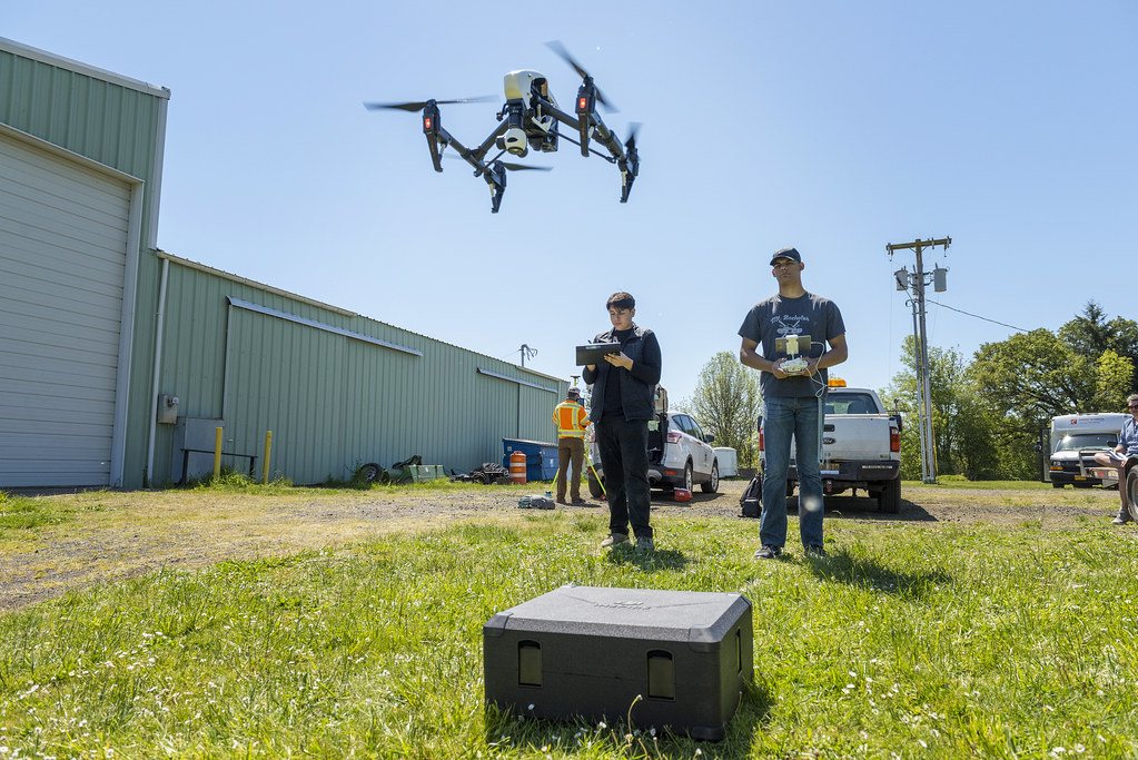
Orthophotos, elevation models and thermal surveys.
Learn more →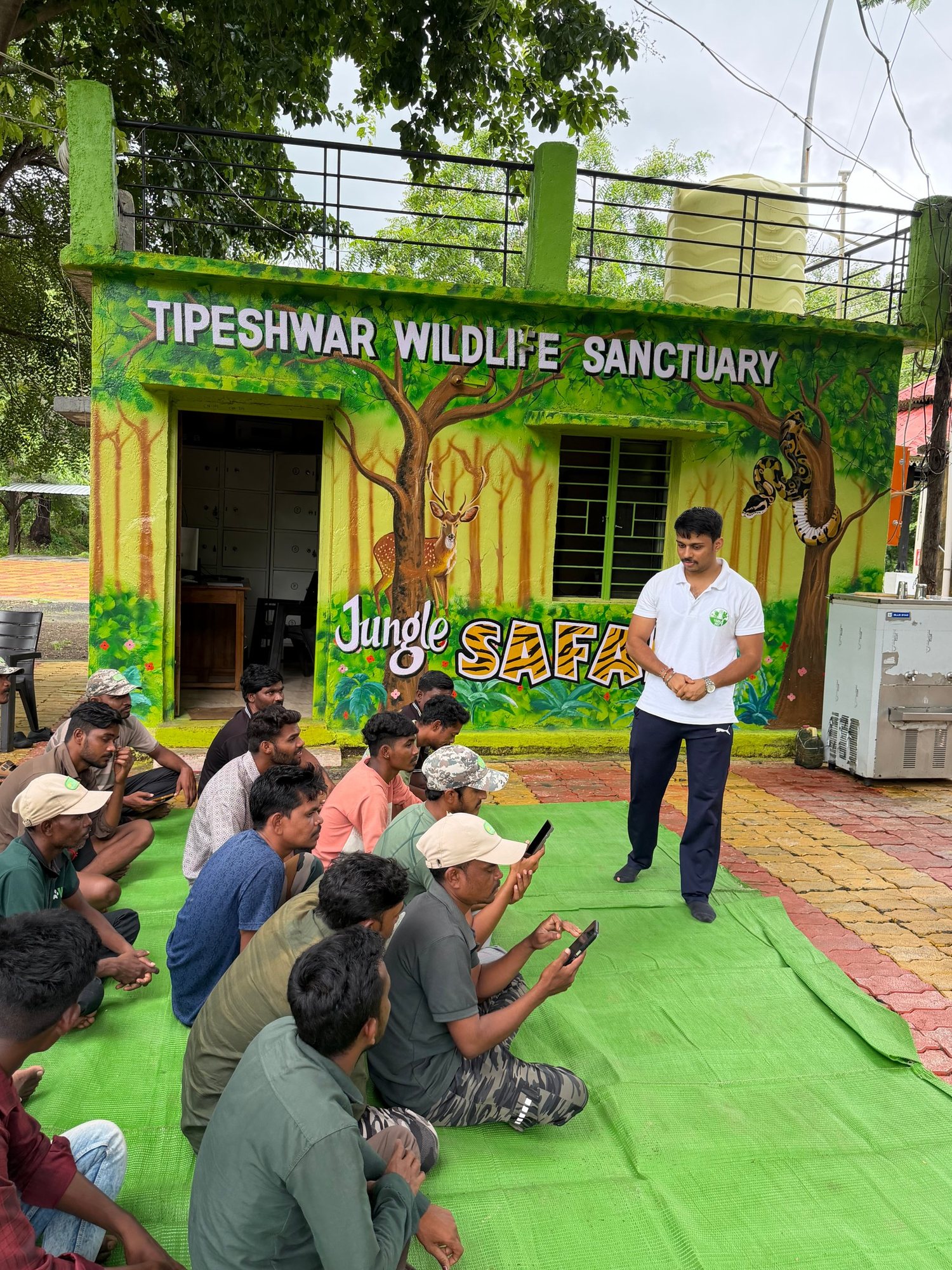
GIS, DGPS, field methods and AI for officials.
Learn more →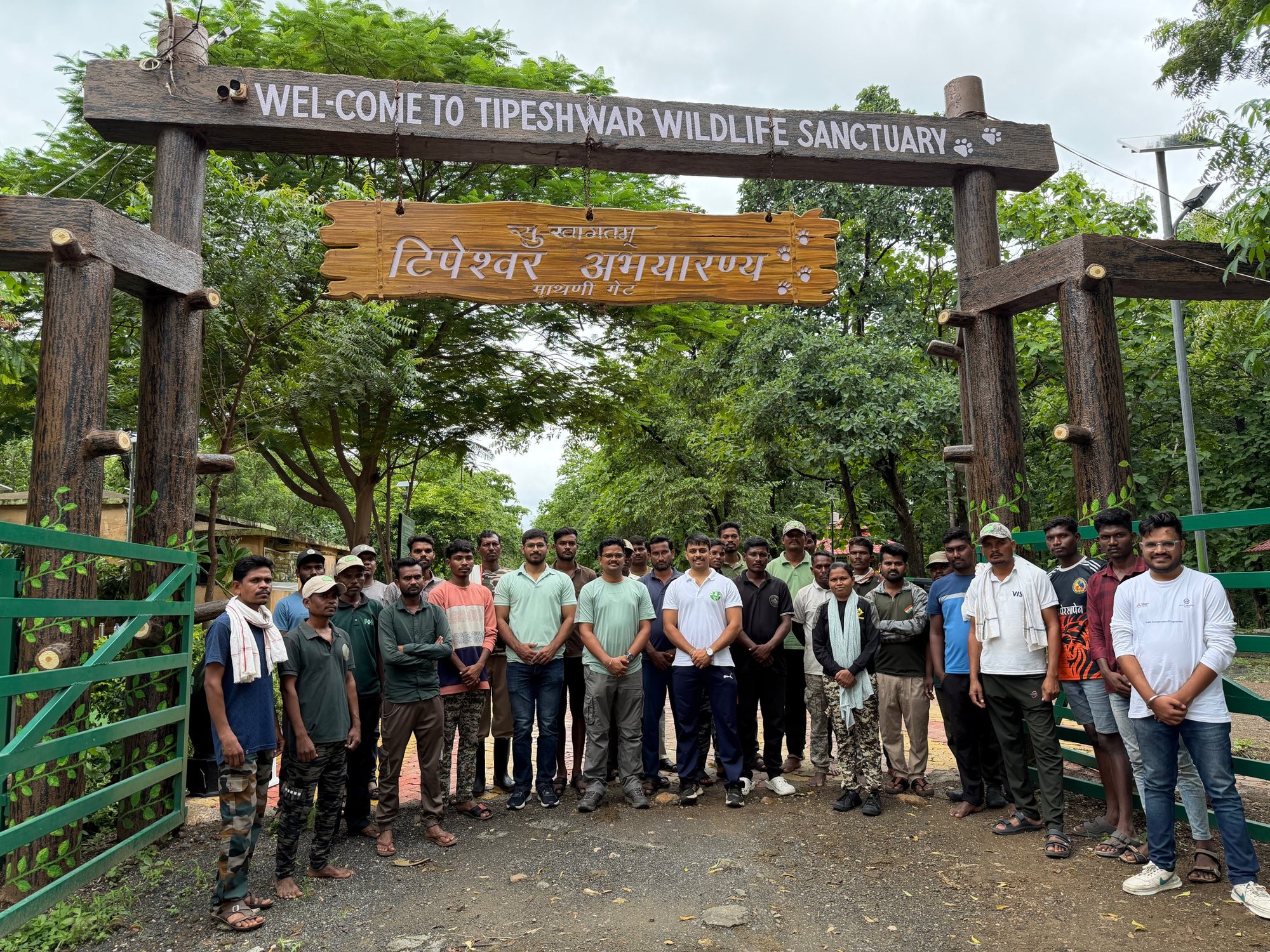
Seven protected areas planned and mapped for the Maharashtra Forest Department.
View project →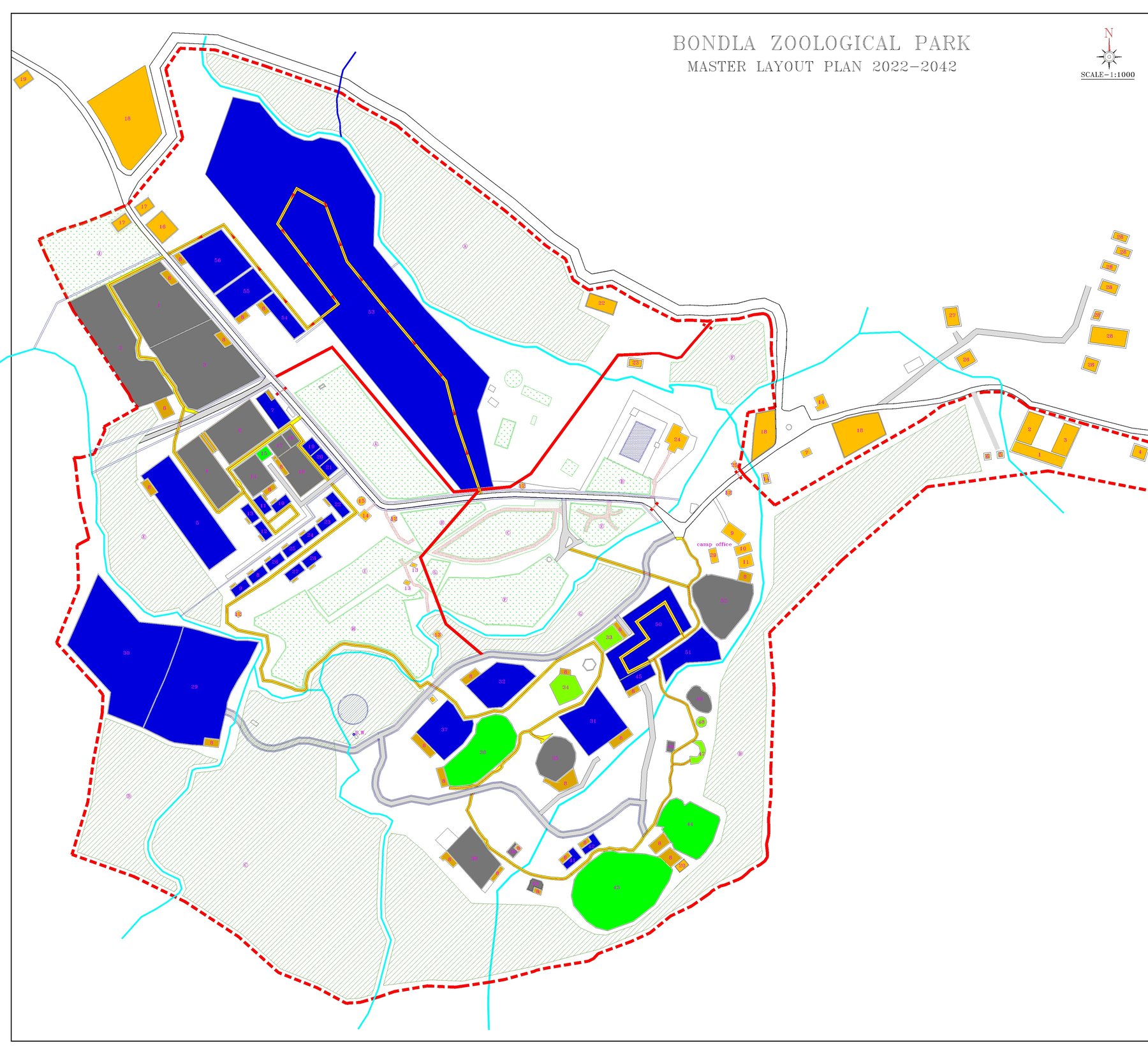
DGPS survey and master layout plan 2022–2042 as survey consultant.
View project →Wildlife and environmental studies for TATA, NTPC and Adani.
View project →Forest departments, power and energy majors, foundations and NGOs.
Ecologists, surveyors and GIS-AI specialists in one team.
Every map checked in the field with DGPS accuracy.
From site visit to reports, maps and training.
Tell us your site and requirement. We will reply with an approach and a quotation.